While staying in the nearby city of Cuenca, I visited Parque Nacional Cajas (Cajas National Park) three separate times. It’s a huge park with many different trails, so there’s something new to see every time you go there.
I went in November, which is off-season, but I stayed in Cuenca long enough that I was able to wait for clearer days to go to the park and get nice photos. That’s a good rule of thumb—if you’re going somewhere during off-season weather, you’ll need a longer trip so that you can lay low on rainy or overcast days, instead of being forced to go out and explore due to time constraints.
Going in November had the advantage of almost never running into other people at the park. The park is 110 mi2 (285.44 km2), so having sweeping views that stretch as far as the eye can see, over beautiful, untouched nature, and without other people to disrupt the tranquility, made for an unparalleled experience.
Transportation
Transportation to and from the park was a bit of a gamble. Cuenca is part of the Azuay province of Ecuador, which has a dedicated taxi app called AzuTaxi. There’s also another app called CuencaTaxi, which is exclusive to Cuenca, but I had much better luck using AzuTaxi. Other ride-share services like Uber don’t service this area.
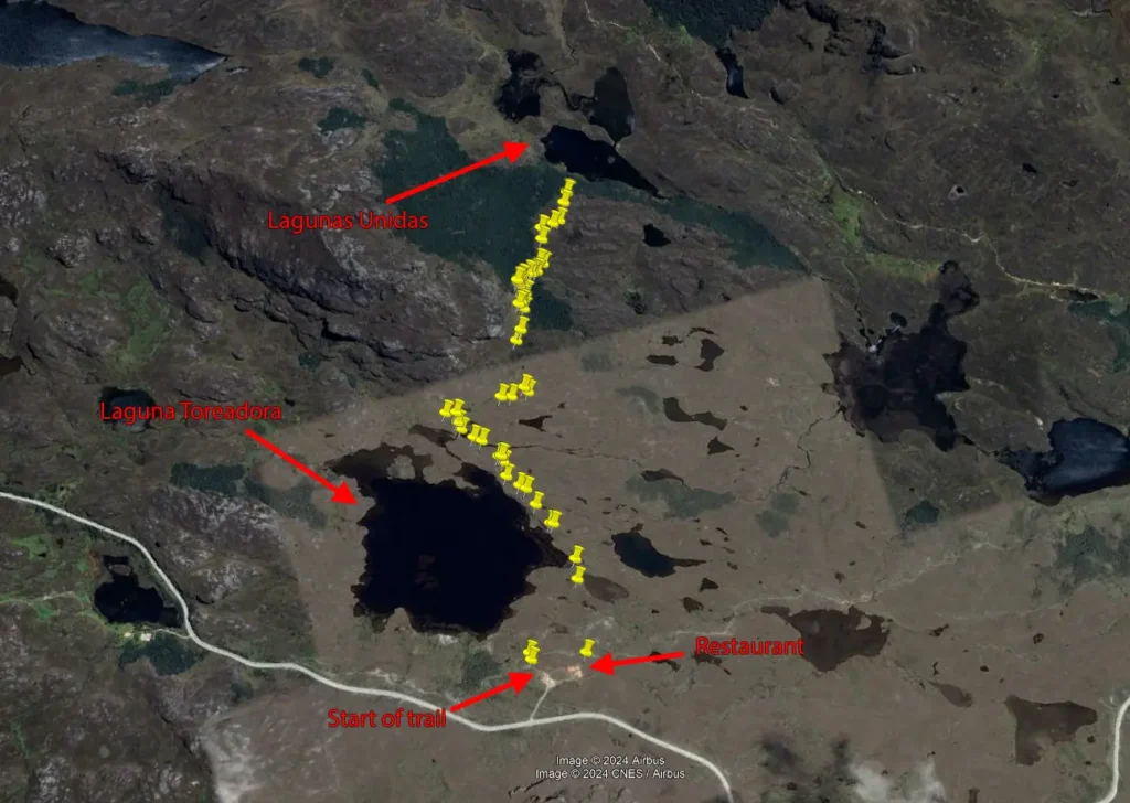
I was able to secure transport to the park with AzuTaxi, but cell service is non-existent once you head outside of Cuenca and approach the park. On my visit to Laguna Toreadora, I didn’t realize this would be the case, and when I’d finished up my hike, I had to ask the manager of the restaurant to call me a taxi with their landline phone. I was out of options and willing to pay whatever someone would charge to come get me—but there’s always someone willing.
On my other two visits to the park, I spent the rides there striking deals with the drivers to come back and pick me up at an agreed-upon time. That means they’d drop me off, head back to Cuenca to get other fares, and then come back to the drop-off spot to pick me up again. This is a bit risky, since the driver could simply forget, decide he doesn’t feel like returning later, or become busy with something else, and there’d be no way for us to get in touch with each other. Fortunately, though, my drivers came back. It helps to offer them more-than-fair monetary compensation to incentivize their return.
Laguna Toreadora
Laguna Toreadora (Toreadora Lake) is likely the principal destination in the park. There’s a small visitor’s center and a restaurant at this location.
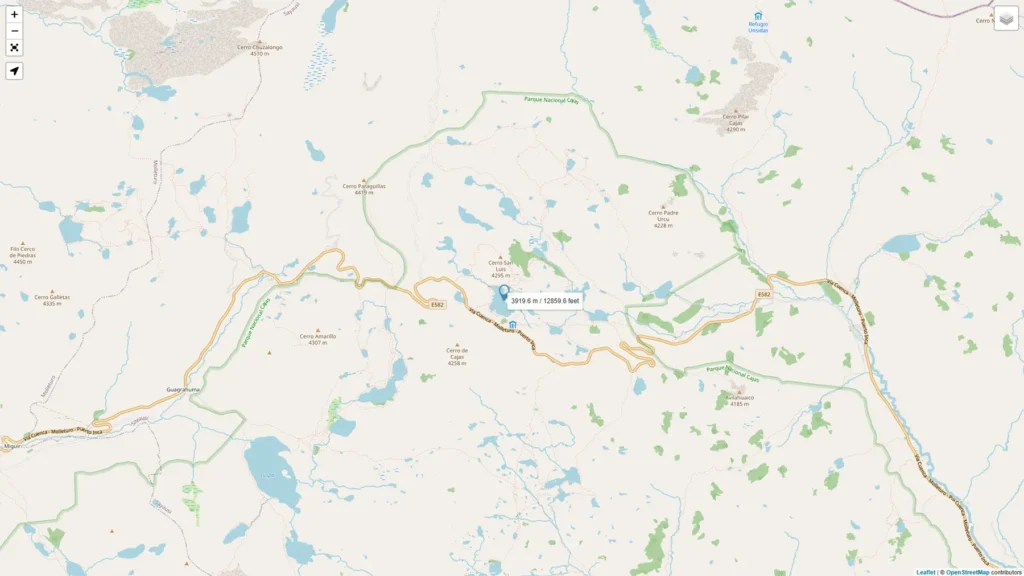
The trailhead coordinates are 2°47’00.2″S 79°13’20.9″W and the elevation at the lake itself is 12,859 feet (3919 meters). Altitude sickness is something many people will need to contend with at this elevation, especially when doing strenuous hiking.
There are various routes you can take, but I didn’t pay much attention to which trail I was on; I mostly just walked wherever looked interesting. Here’s the path that I took, with the yellow pins representing photos I took along the way:
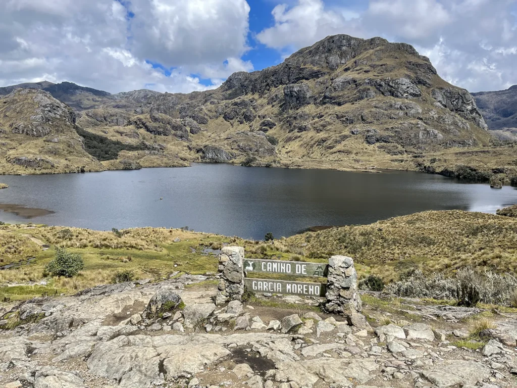
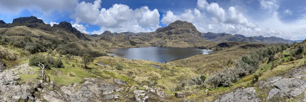
Walking just a bit farther, you can take in a panoramic view of the lake:


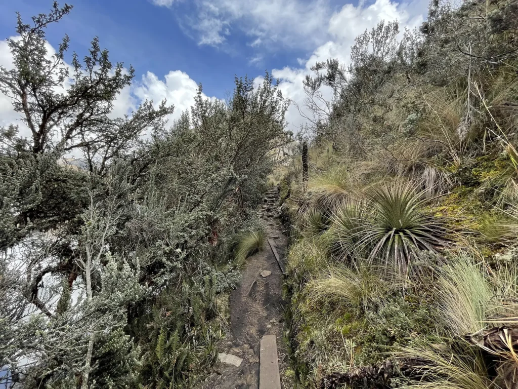

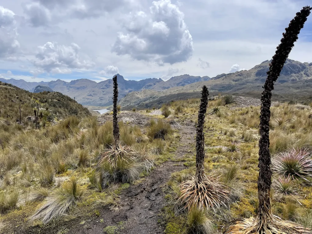
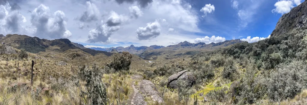
Here are some more photos from further into the trail, after passing Laguna Toreadora…

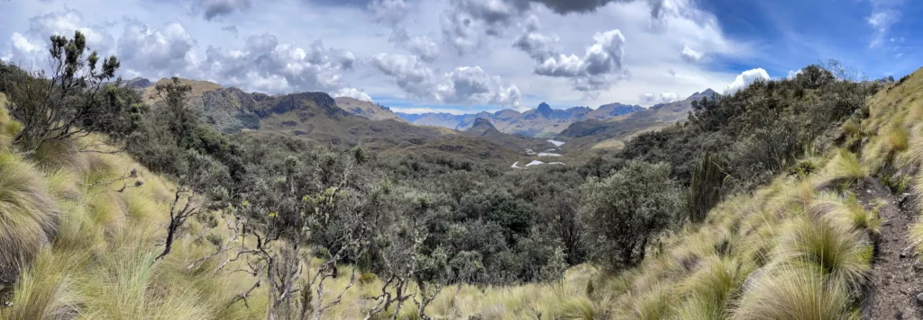
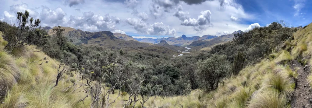
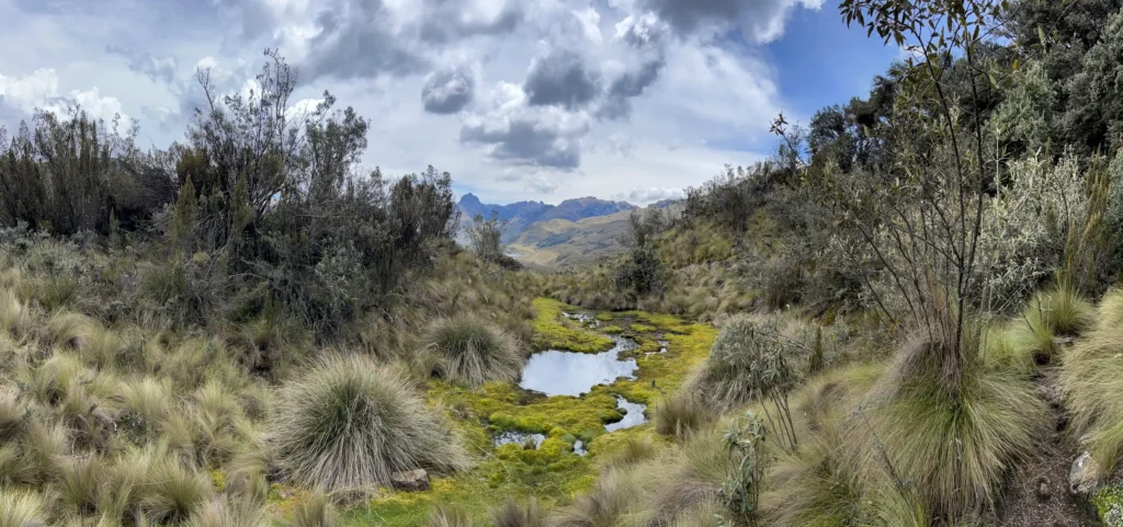
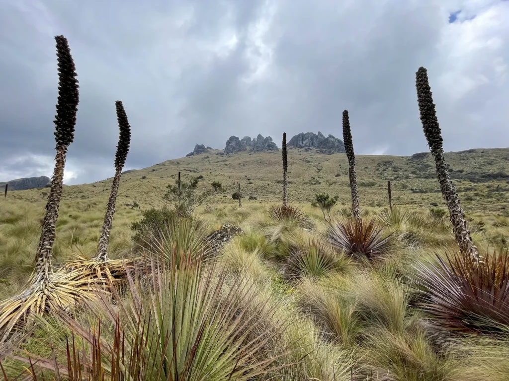
The páramo ecosystem flourishes at high elevations in this part of the world. All of the vegetation is different than what I’m used to seeing elsewhere, making the vast landscapes feel even more surreal.
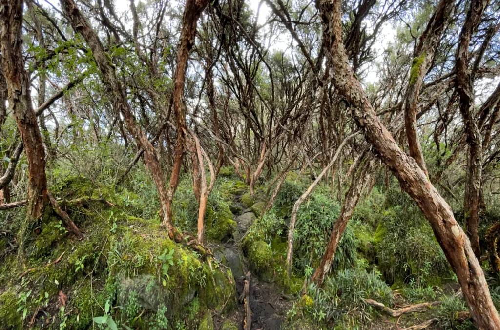
Part of the trail winds through this small forest of polylepis trees. They’re sinuous trees with trunks that are ultra smooth to the touch. I’d never seen them before, but found them quite interesting. They lend themselves to some wild, almost eerie photos.
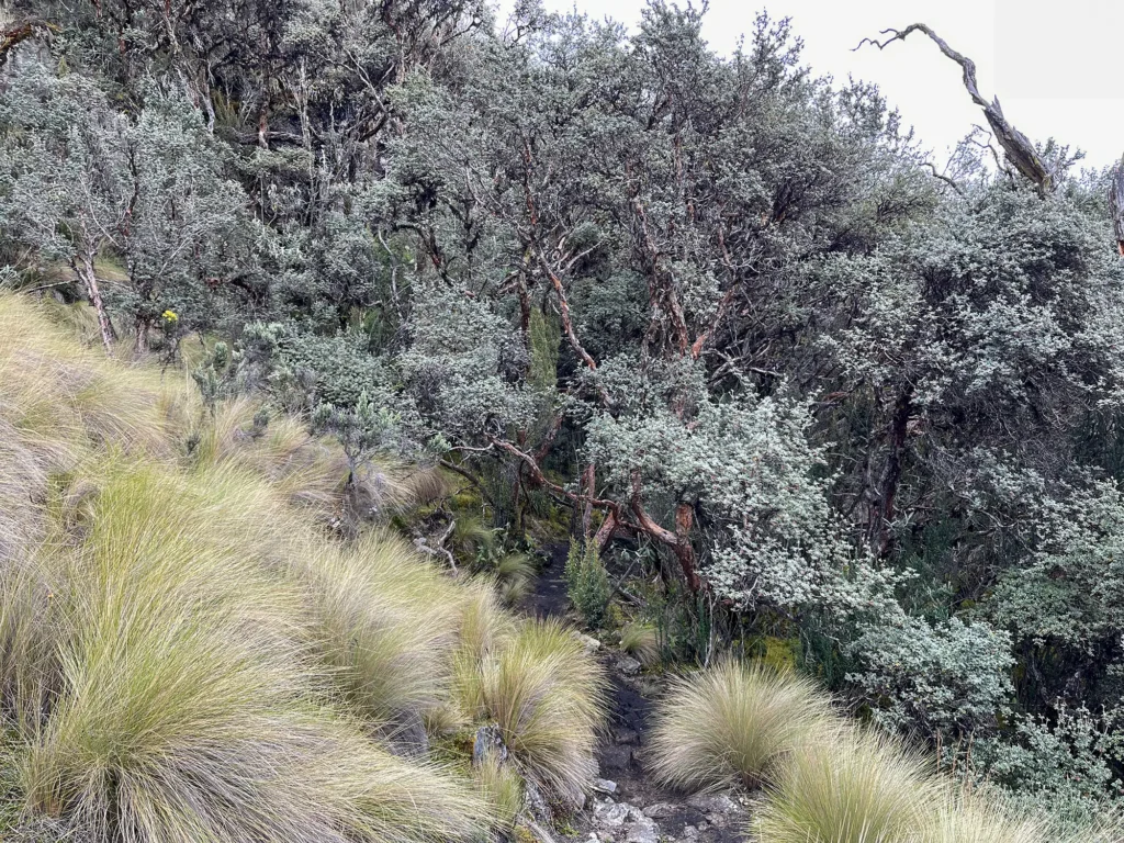
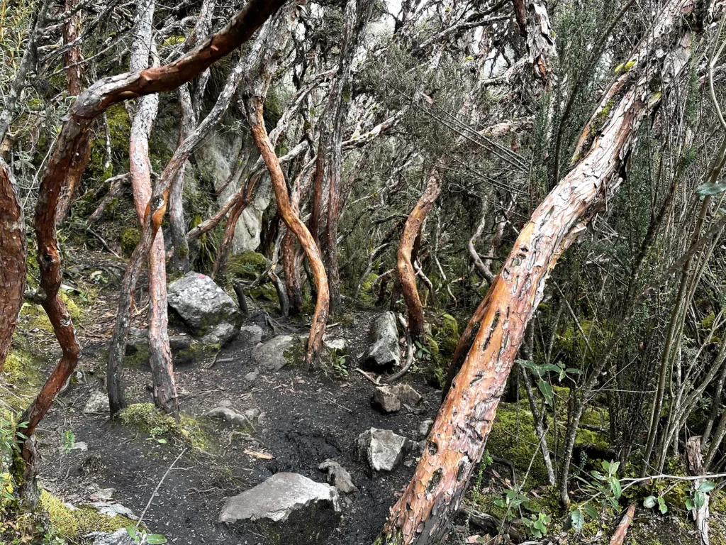
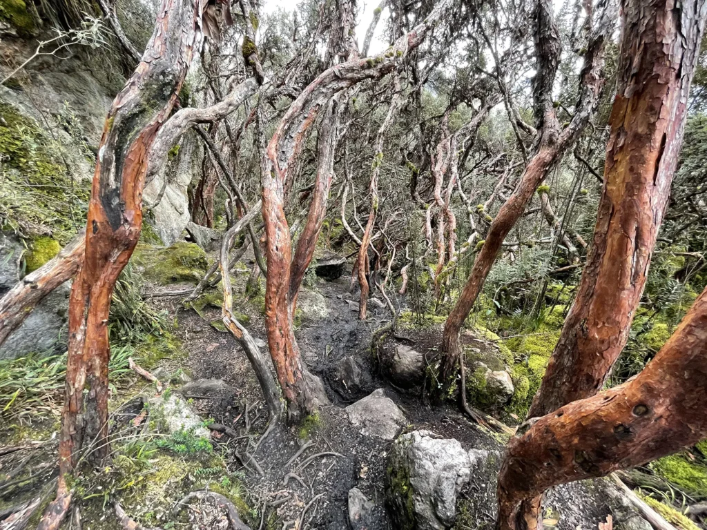
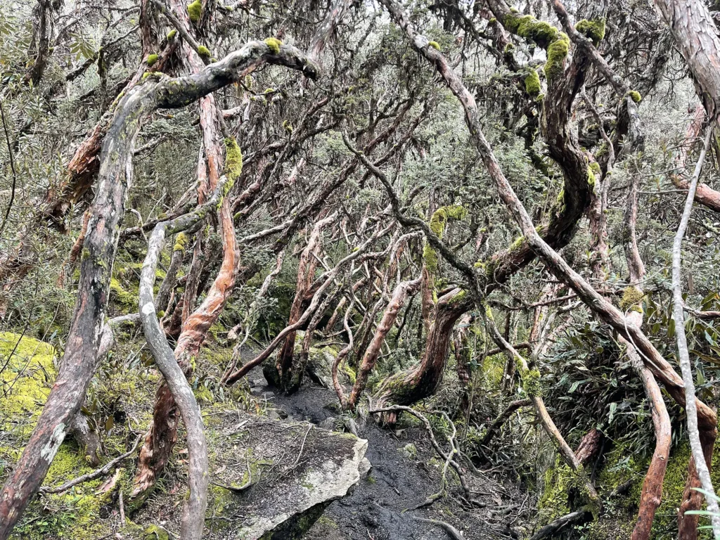
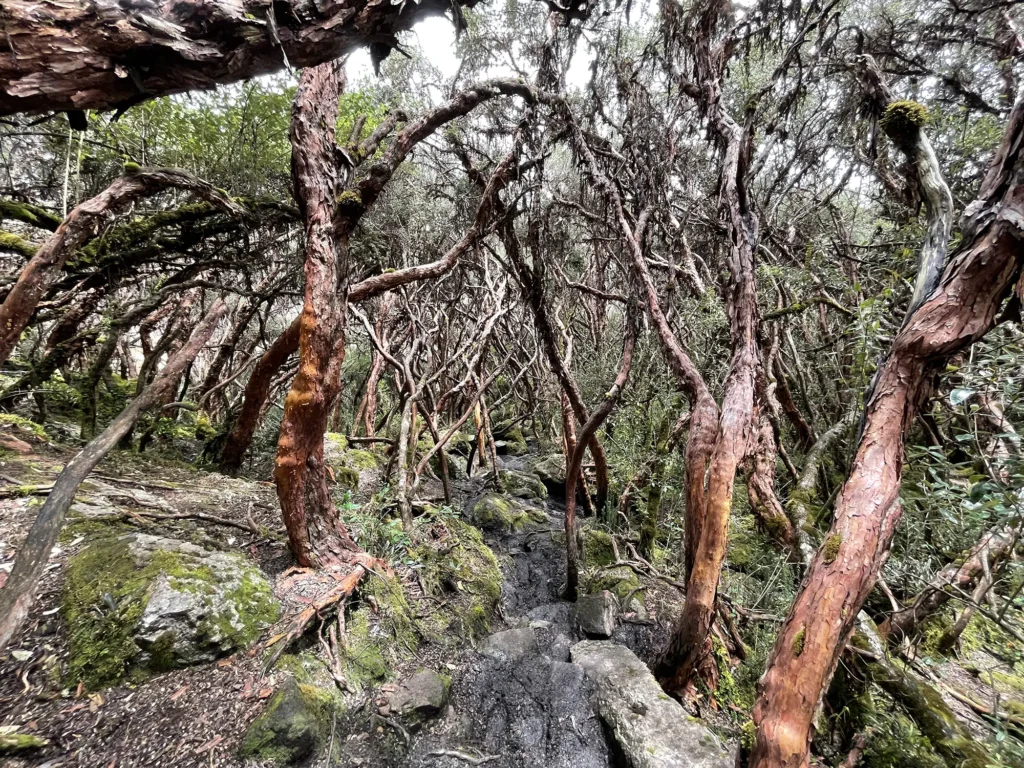
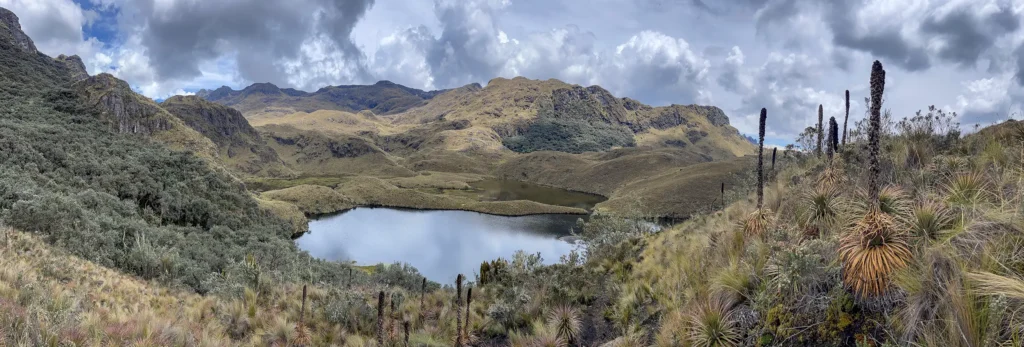
On the other side of the forest, after a little more hiking, are the Lagunas Unidades:

Here are some more photos that I took on the way back to the starting point:



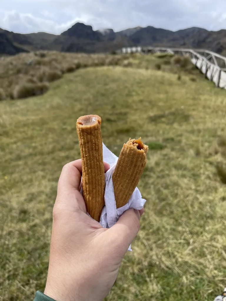
I had a meal and a snack at the restaurant while I waited for a taxi to make its way from the city to pick me up.

Santuario de la Vírgen del Cajas
Santuario de la Vírgen (Sanctuary of the Virgin) was the next area of the park that I explored. As far as hiking goes, it’s definitely the least interesting of the three spots that I visited. The coordinates are 2°46’54.8″S 79°11’22.0″W.
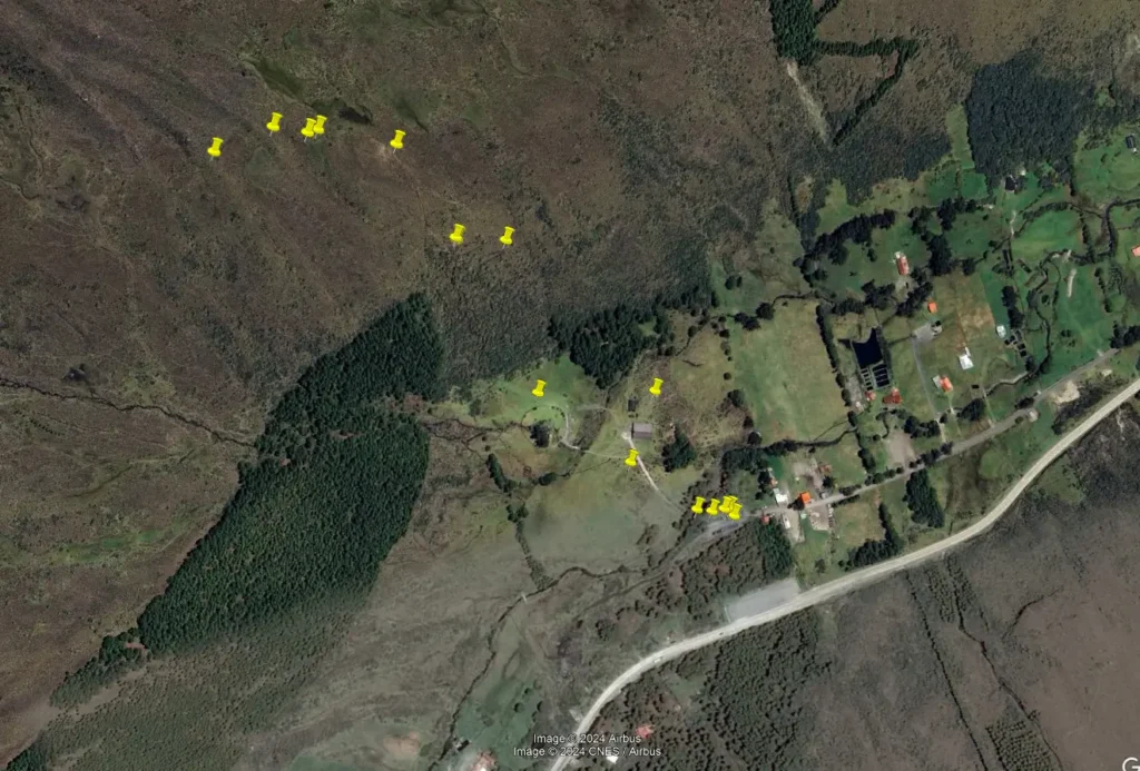
The path I walked is marked by the yellow pins (locations where I took photos) in this image:
This isn’t a typical trailhead; it’s more like a religious shrine, with mass being held in the main building here. There’s also a garden area where some other religious processions are apparently conducted. Upon arriving, I wasn’t certain if there’s any trail to hike at all, but I eventually found a nondescript, unmarked trail tucked away in the thickets on a hillside.
There’s a small, roofed area near the parking lot that has some information behind a glass case—it seemed to just be a bunch of religious mumbo jumbo.
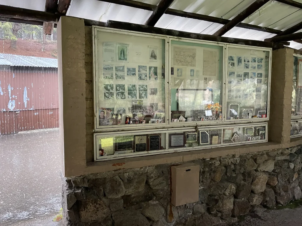
There was a myriad of pictures wedged into the case, undoubtedly left by churchgoers that seek healing or blessings for loved ones or themselves. It’s something I see Latinos do in a lot of places. Among the pictures were business cards, expired IDs, or anything else that has the name or picture of those that wish to be blessed—or something like that—by God… or a saint. I don’t know exactly.

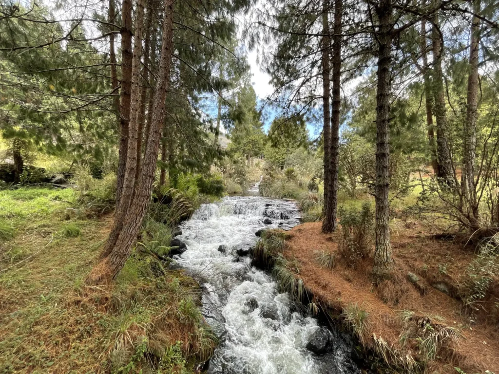
There’s a photogenic river that cuts through the area, not far at all from the parking lot. There’s a bridge you must cross in order to access the sanctuary area.
Next, I pass through the sanctuary and garden area…
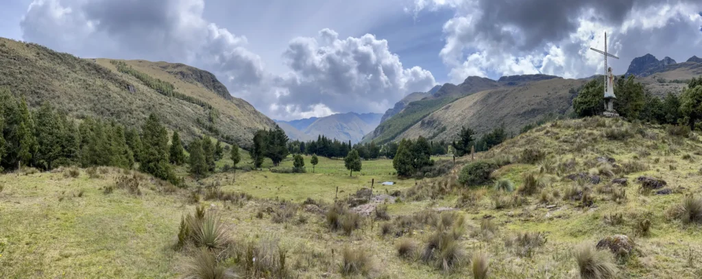
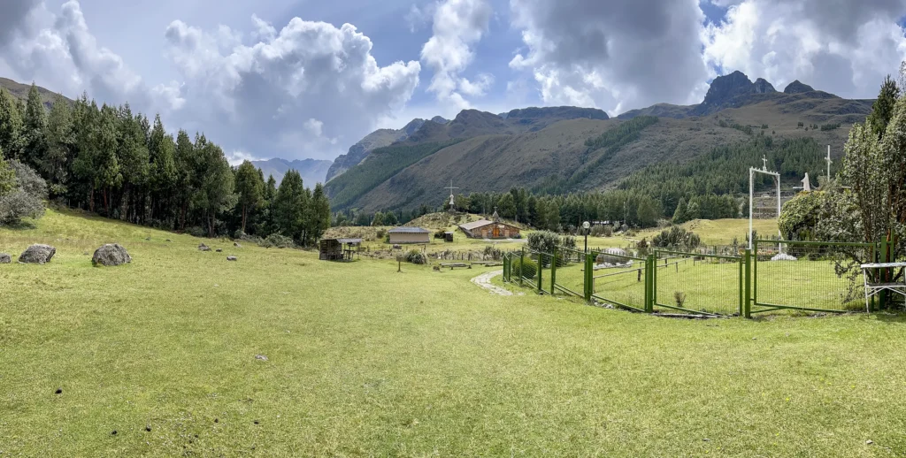
The trail begins to the left of where I’m standing to take the photo above. There’s really nothing special about the hike up there, and the only reward is a sweeping view of the area once you get up high enough.

There’s a makeshift shrine somewhere up here, where there’s a small bust of Mary, and some rosaries and other items that people have left.
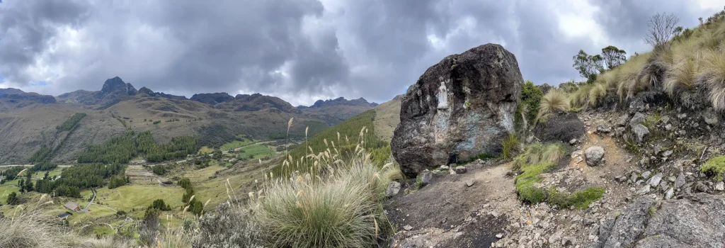
The trail sort of tapers off after this point, but it’s easy enough to forge your own path, thanks to little undergrowth, if you’d like to keep going—which I did.


There’s a little restaurant near the parking lot, where I killed time and stayed dry while waiting for my driver to return at our designated time.

Mirador Tres Cruces
Mirador Tres Cruces (Three Crosses Viewpoint) is the third section of Cajas National Park that I visited. The coordinates for the parking lot are 2°46’39.1″S 79°14’26.5″W. Here’s the path I walked, with the yellow pins representing photos that I took:
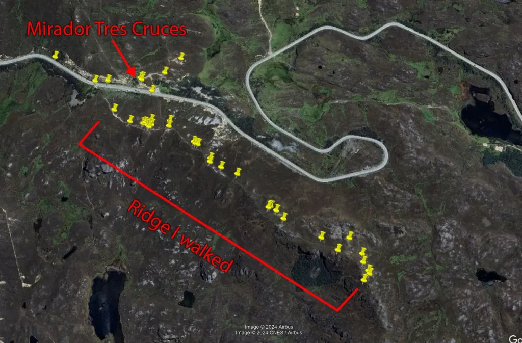
The parking lot and mirador (viewpoint) are north of the road, as indicated by the arrow. This is a nice viewpoint that doesn’t require any hiking, but I was far more interested in crossing the street and hiking the ridge to the south, which afforded more epic views and was a rewarding hike. The few pins you see down the road to the west are just photos I took while walking around and killing time when I was waiting for my driver to return.
Let’s start with some views from Mirador Tres Cruces…
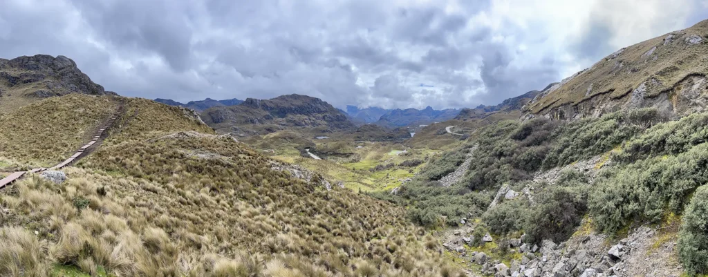
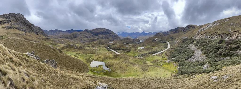
Great views, but across the street is even better, and gives me a challenging hike. The highest elevation I reached on this hike was 13,814 feet (4,210 meters).
Upon crossing the street, I’m met with a steady climb up a dirt path and a huge staircase that must be ascended. Once at the top of the ridge, further ascension is slower and gradual, so this initial climb and stairs is the hardest part.
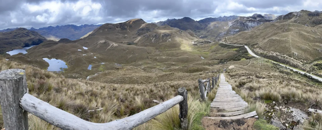
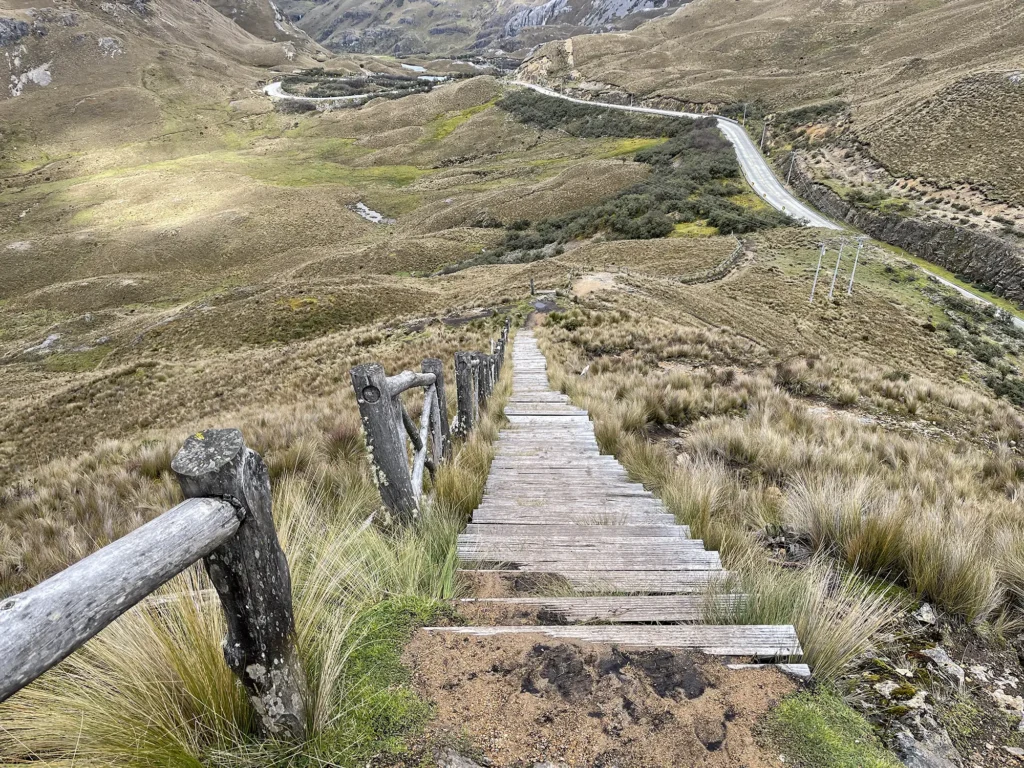
After this point, the trail is undeveloped, and basically just a narrow dirth path that goes across the whole ridge. Some parts turn into rock scrambling.
There are epic views on both sides of the ridge. I sometimes took very wide panoramic photos in order to capture both sides at once.
These photos speak for themselves:


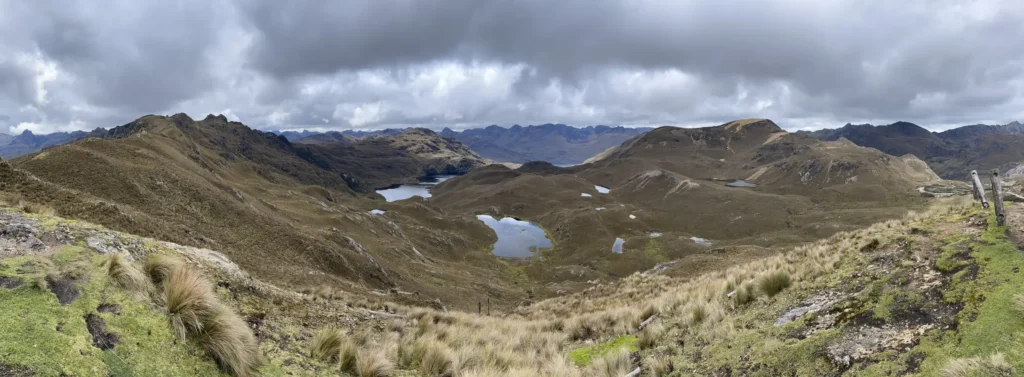
As far as expansive, panoramic views go, this trail is the best of the three that I walked in Cajas National Park. I never saw anyone else hiking the ridge trail, although there were a few people at Mirador Tres Cruces.
When finished, I sat in the parking lot in cold rain and wind to wait for my driver to show up. Seeing his taxi pull up was a big relief, as the weather had chased everyone else away, and I would’ve had no other option for getting home.